
  |
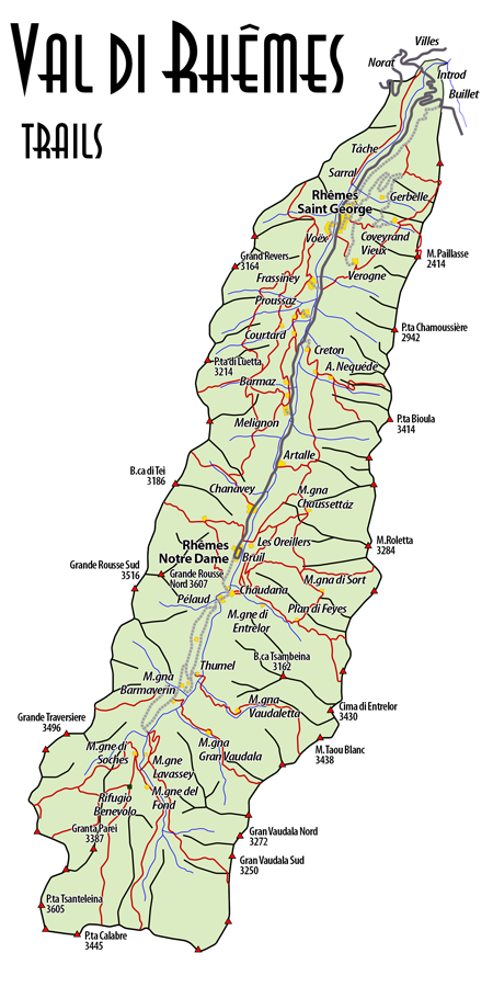
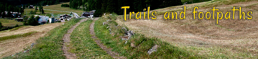
Trails and footpathsThere are several trails and footpaths in Val di Rhemes and among them we wish to point out the "Alta Via n°2 della Val d'Aosta" along with the footpath n°304 which leads to the Benevolo refuge (mt 2.285). Among the various excursions, with different degrees of difficulty, we wish to suggest the circular one which starts in Bruil to the "Casa del Parco", situated on the right side of the valley (footpaths n°303 and the footpath n°307). From there, following the path n°315 you will arrive to the "Casa del Parco di Pechaud" and then go down through the path n°302 to the valley floor nearby the hamlet of Artalle. From Artalle, following the main road you can reach again Bruil where the excursion started. Those who are more accustomed with mountain trekking can choose to climb the Alta Via N° 2 della Val d'Aosta, either heading East, crossing the Colle di Entrelor (mt. 3.007) and descending in Valsavarenche at the village of Dégioz, or heading West to Valgrisenche through the Colle della Finestra (mt. 2.847) and the hamlet of Prarion. From Rhemes St. Georges it is possible to reach the peak of Mt. Paillase (mt 2.414) through the footpath n°301. From the Benevolo refuge it is possible to reach the peak of Punta Lavassey (mt. 2.772), the springs of Dora di Rhemes and the Colle della Nivoletta (mt. 3.130) with part of the path on the glacier. It's worth to mention the new via ferrata, named after Casimiro Therisod, which starts in the hamlet of Chanavey and ends joining the footpath of the Alta Via N°2 della Val d'Aosta descending from the Colle della Finestra to the village of Bruil. The via ferrata is marked as AD (rather difficult) therefore it is strongly suggested to follow all the relevant indications and suggestions. For further information about the "Ferrata Casimiro" you can check its own page in the official website of the "Comune di Rhemes Notre Dame". |

- Sito non ufficiale dedicato alla Val di Rhemes -

 © 2012
  - Sito ottimizzato per Firefox 17.0, Internet Explorer 9, Safari 5.1, Chrome 23.0, Opera 12.0 e successivi ad una risoluzione ottimale di 2560x1440 pixel - Disclaimer